Guangxi Computing Center Uses Drone Technology to Protect Beihai Mangroves
Since the beginning of this year, Guangxi Computing Center Co., Ltd. has carried out intelligent inspection operations for plant diseases and insect pests in the mangrove area of Beihai City, relying on its self-developed UAV integrated management and control platform and core UAV application technology. It safeguards the "marine forest" through the "low-altitude +" smart application scenario, strengthens the coastal ecological defense line, and injects lasting green momentum into Guangxi’s marine-oriented development.
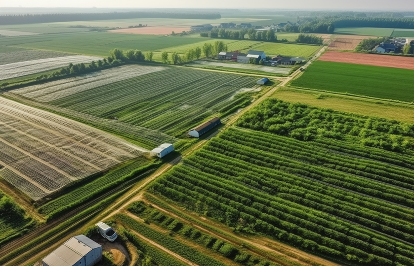
Xinhua News Network reported that Beihai mangroves are a key barrier for maintaining coastal ecological balance, with a total area of 4,821.14 hectares, known as the "coastal bodyguards". However, the mangrove area is crisscrossed by tidal ditches and dense vegetation, making traditional manual inspection face pain points such as difficult access, low efficiency and many blind spots, which makes it difficult to detect and handle plant diseases and insect pests in a timely manner.
To address this problem, Guangxi Computing Center has given full play to its advantages in low-altitude technology, deeply integrated the UAV cluster intelligent management and control capabilities with ecological monitoring needs, and built an integrated solution of "low-altitude inspection + intelligent analysis + accurate early warning".

At the inspection site, UAVs conduct grid-covered inspections of the entire mangrove area in accordance with the optimal routes planned by the platform. Equipped with high-definition zoom lenses and sensors, the UAVs can accurately capture abnormal features such as withered yellow leaves and insect holes, and transmit high-definition images and video data to the UAV integrated management and control platform in real time. Through AI intelligent algorithms to quickly analyze data, it automatically marks suspected areas of plant diseases and insect pests and counts the affected area, realizing the full-process intelligence of "inspection - identification - early warning".
Previously, manual inspection could only be carried out on the periphery of mangroves, unable to go deep into the hinterland. It took 2 to 3 days to inspect 9 kilometers of mangroves, while UAVs can complete full-coverage inspection in 2 hours and reach the core intertidal zone areas inaccessible to humans, effectively improving the accuracy of identifying plant diseases and insect pests.
Xinhua News Network Guangxi Channel noted that Beihai has built an integrated "sky, air and ground" ecological monitoring network, set up UAV duty airports, and realized regular UAV inspections to grasp the health status of mangroves in real time. The intelligent inspection by Guangxi Computing Center is a vivid practice of technological innovation empowering ecological civilization construction.
Up to now, the "low-altitude +" smart application scenarios have been maturely applied in many fields such as transportation infrastructure and emergency management. Expanding to the field of mangrove protection this time has further enriched the application scenarios of the low-altitude economy, providing a replicable and promotable "transportation investment plan" for coastal wetland ecological protection in Guangxi and even the whole country.
In the future, Guangxi Computing Center will continue to optimize its self-developed UAV integrated management and control platform, upgrade core technologies, expand the application scope of "low-altitude + ecological inspection", and further play the role of technological innovation in ecological protection, contributing to Guangxi’s green and high-quality development.